FREIBURG THE RETAINING CITY
freiburg_GERMANY |2014
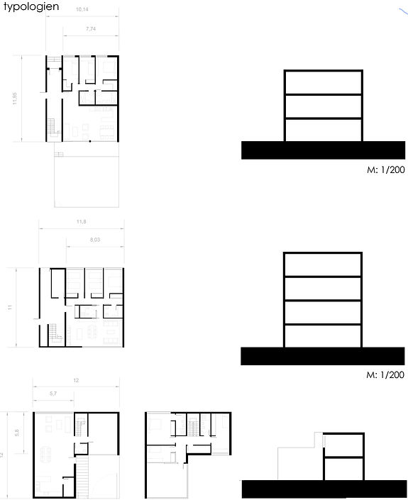
The urban planning of the new residential area in Freiburg is strongly influenced by the surrounding conditions. After an investigation, some major problems are found out: the natural reserved area, located on the west of the intervention area; the two highways which frame the northern and eastern boundaries of the terrain; the two intersecting rivers, which flood zone regularly with no over flooding measures; and the closeby, newly built Rieselfeld district. After analyzing the zone, the area was divided into three parts, were the division line would follow the two river´s basin. This allows the creation of two large floodplains, which will serve both, as a green area, as well as water retaining zone were the water will flood on flooding periods. This idea reminds us of a catamaran were the water flows between the bow and stern and three “islands” are created. In addition to the water retention, this city structure allows the cooling of the city during the summer months provided that dominant winds (South-East) come from the city center to our intervention zone. According to the “islands” or heads, each one has been individually planned creating a hierarchy. The middle part is the most dense and highest one, while the other two exterior parts are planned opening themselves to the countryside and the forest. Referring to traffic structure, the three parts have been planned starting from a main street which will cross the center of the 3 areas attached to this main street, secondary ring roads will emerge. These ring roads are interwoven with pedestrian walkways in the central part. All this allows us to play with the dimensions and shapes (open or closed) of the residential blocks. However, the height of the buildings will be also different depending on the hierarchy of the zone were the building is going to be located. This way, the building closer to the riverside will have a less dense population, and will be shorter coming together with the dimension of its ring roads and promenades. In contrast, the building heights in specific areas and on motorways will be larger in order to protect the other side of the coming noises. Each sub-region due to the facilities that are planned in every part, operate independently. This simplifies the whole thing in three progressive planned areas. It will also help on the public transport’s building gradually.